Collection: Drone Survey & Mapping
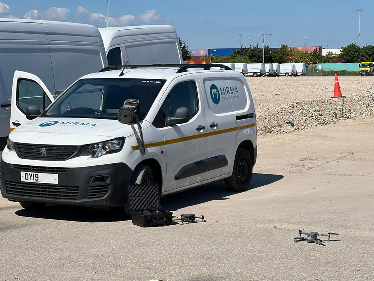
Enhance your project's planning and execution with Mirma Construction's drone survey and mapping services. Our state-of-the-art drones capture high-resolution aerial images and data, providing accurate, detailed maps and 3D models. Based in London, our team uses this technology for site analysis, progress monitoring, and environmental assessments. The precision and efficiency of our drone services ensure better decision-making and project outcomes. Trust Mirma Construction to leverage advanced technology for superior construction planning and execution.